Research conducted by:
Christelle Wauthier, Associate Professor of Geosciences and ICDS Co-Hire
Tags:
satellite data volcanoes
Research Summary:
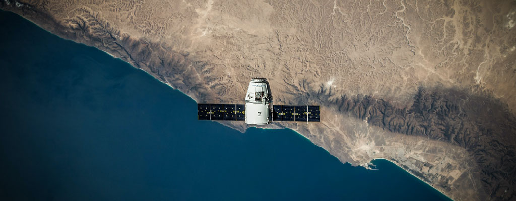
New remote sensing data, such as satellite imagery, can help researchers keep an eye on the ground around volcanoes, ever alert for signs of potential eruptions. But atmospheric conditions, particularly seasonal weather changes in tropical regions, can blur the imagery, making it difficult to precisely observe active volcanic regions. To compensate, researchers have used computational correction methods to take out some of the atmospheric noise from this satellite imagery. In this geoinformatics study, the team used big data and computational research techniques to test these methods. The researchers hope their results can serve as a guide for researchers using satellite data in tropical regions who wish to use correction methods to study volcanic activity.
How Roar played a role in this research:
"The sheer amount of storage space and high-end computing required to perform this project could not have been accomplished on a single workstation. The raw data alone amounted to about 153 GB for 117 COSMO-SkyMed radar scenes, plus about 102 GB from external Global Weather Model (GWM) datasets. The final products and in-between processing file sizes amounted to about 2.5 TB! A total of 480 interferograms were processed on the server from the COSMO-SkyMed scenes, and would often require jobs to be submitted on the server as they would sometimes take several days to complete processing. Matlab was used for processing the GWM datasets and applying the results to the interferograms, as well as for time-series analysis on these corrected and uncorrected interferograms. Due to the sizes of the files being imported and used, and the nature of some of the codes being used, jobs also had to be submitted for these runs and definitely could not have been performed on my own workstation! Having access to the server was absolutely critical for this research, and we hope that the results will be able to help future researchers make informed assessments on when, where and how to apply atmospheric corrections to their ground deformation remote sensing products." - Graduate student Kristen Stephens
|
Article Title: |
Assessment of mitigation strategies for tropospheric phase contributions to InSAR time-series datasets over two Nicaraguan Volcanoes |
|---|---|
|
Published In: |
Remote Sensing |
|
Abstract: |
Interferometric Synthetic Aperture Radar (InSAR) studies of ground displacement are often plagued by tropospheric artifacts, which are phase delays resulting from spatiotemporal variations in the refractivity of air within the troposphere. In this study, we focus on COSMO-SkyMed (X-band) InSAR products obtained over two different types of volcanoes in Nicaragua: the Telica stratovolcano and the Masaya caldera. We examine the applicability of an empirical linear correction method and three Global Weather Models (GWMs) with different spatial and temporal resolutions for removing the tropospheric phase component. We linearly invert the tropospheric-corrected interferograms using the Small BAseline Subset (SBAS) time-series technique to produce time-series of ground displacement. Statistical assessments were performed on the corrected interferograms to examine the significance of the applied corrections on the individual interferograms and time-series results. We find that the applicability of the correction methods is highly case-dependent and that in general, the temporal resolution of GWMs influences their ability to capture turbulent tropospheric phase delays. At the two target volcanoes, our study shows that none of the GWMs are able to accurately capture the tropospheric phase delays. Our study provides a guide for researchers using InSAR data in tropical regions who wish to use tropospheric model corrections to carefully assess the applicability of the different types of tropospheric correction methods. View article on publisher's website |

